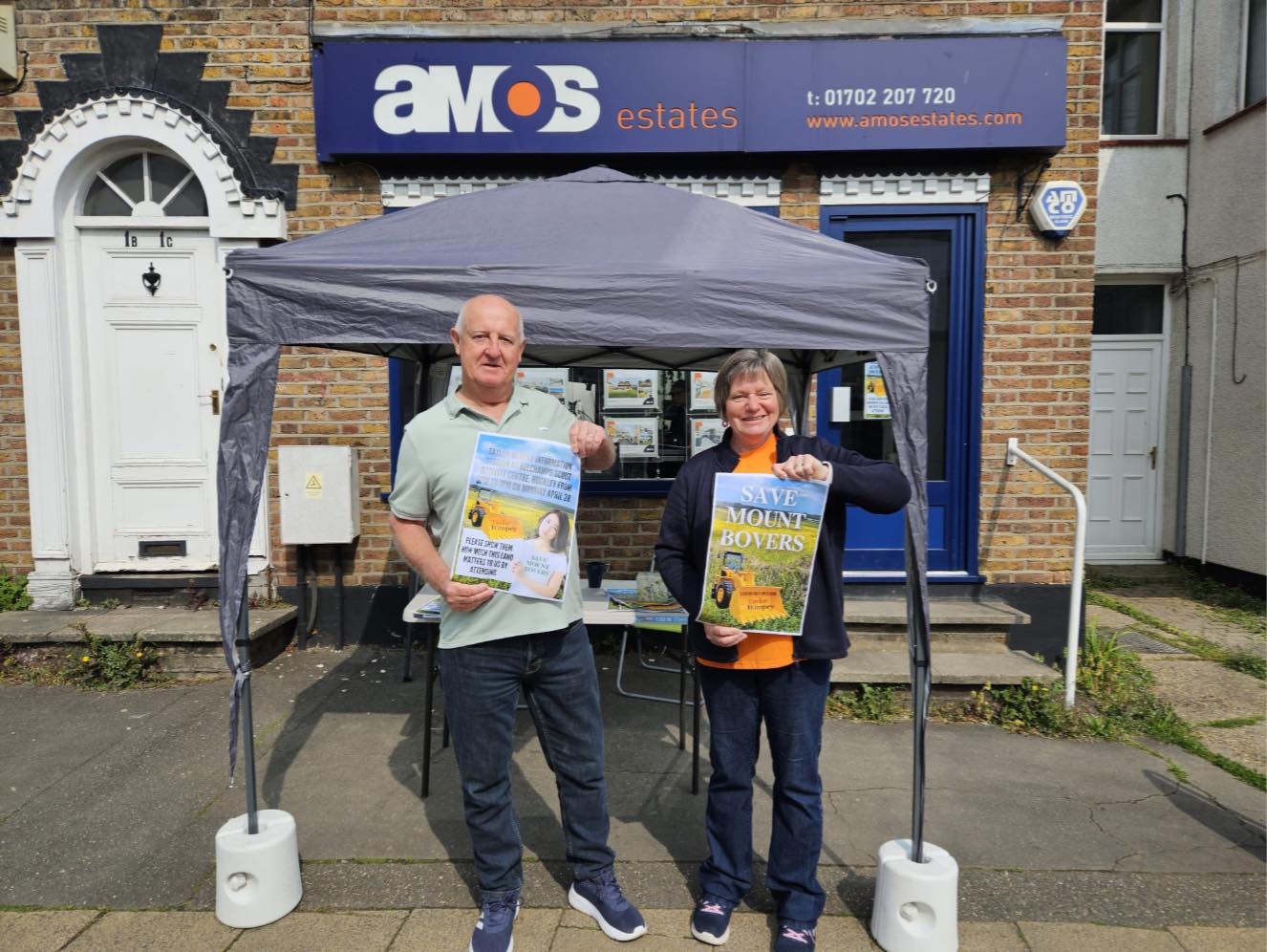
Our community stall was used on Saturday by concerned residents highlighting proposals to build 350 properties on Green belt in Hawkwell. The developer is holding an information meeting TODAY Monday 28th April 3-7pm at Belchamps scouting centre. Taylor-Wimpey are planning to develop 350 houses on the field between Mount Bovers and Gusted Hall Lane.
Category: News
-
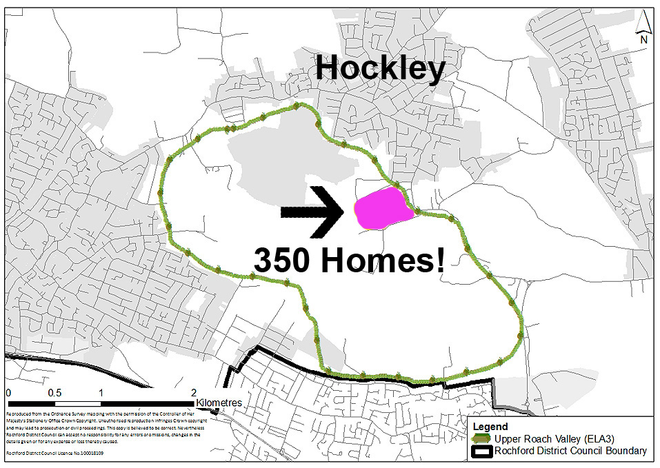
Threat to our Green Lung
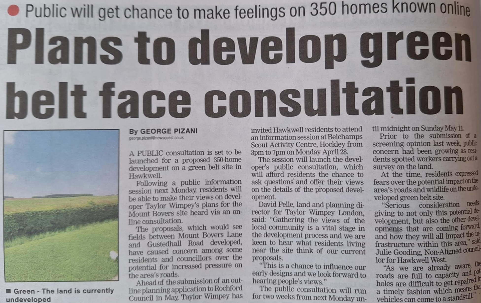
The Taylor Wimpey proposed housing development between Mount Bovers Lane and Gusted Hall Lane of up to 350 homes is located well within the protected boundary of our precious Upper Roach Valley, a designated Special Landscape Area and vital “Green Lung” and is facing a major threat! This proposed development will jeopardise its sensitive landscape, ecological value, and our recreational space.
Rochford District Council Policy ELA3 states: “the Upper Roach Valley will be protected from development…”
Hockley Woods (a Site of Special Scientific Interest, a formal conservation designation in the UK) is just 250 meters from the proposed site! Rochford District Council’s Policy ELA3 (supported by Natural England) is in place to protect this area from development!
Read the policy here: https://rochford.oc2.uk/document/178/26712#d26747
The Rochford District Council & Southend Borough Council Landscape Character, Sensitivity & Capacity Study”, 2020 identifies the Upper Roach Valley area as “the most sensitive non-coastal landscape in the District” and “is an area worthy of protection”.
As described by the UK Government’s National Planning Policy Framework (NPPF): The fundamental aim of Green Belt policy is to prevent urban sprawl by keeping land permanently open. Our “green lung” is a vital designation of Green Belt land which (as stated within the NPPF) serves to a.) “check the unrestricted sprawl of large built-up areas” and b.) “prevent neighbouring towns merging into one another”.
Allowing this development could set a dangerous precedent for further destruction of our green spaces. This is not just a Green Belt site, this is one of a few ancient landscapes within our District designated for protection.
Please Share to Help Protect our Green Lung.
-
Call for Sites
Quote from RDC officers, “Re Mount Bovers Officers said, “there are no current planning applications for the site.”
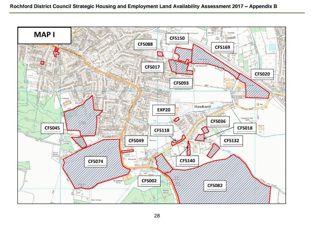
After some considerable digging. Research shows the map attached.
CFS 074 is on the map which shows 22 hectares of land. (Bottom left).
At this stage it is not on the’Call for sites’ stage.
I believe there could be Speculative conversions happening.
On a Local development plan – we don’t know much more than that at present.
Until it’s on the pre application, only then we can call for enforcement if necessary (if planning permission hasn’t been granted).
It is on Green belt, Green field