For the past 20 years, I’ve called Hockley home—a place that continues to surprise and inspire me every time I step outside with my camera in hand. Nestled in Essex, Hockley is more than just a village to me; it’s a living, breathing canvas of natural beauty, where the woodlands and winding paths reveal something new with every season.
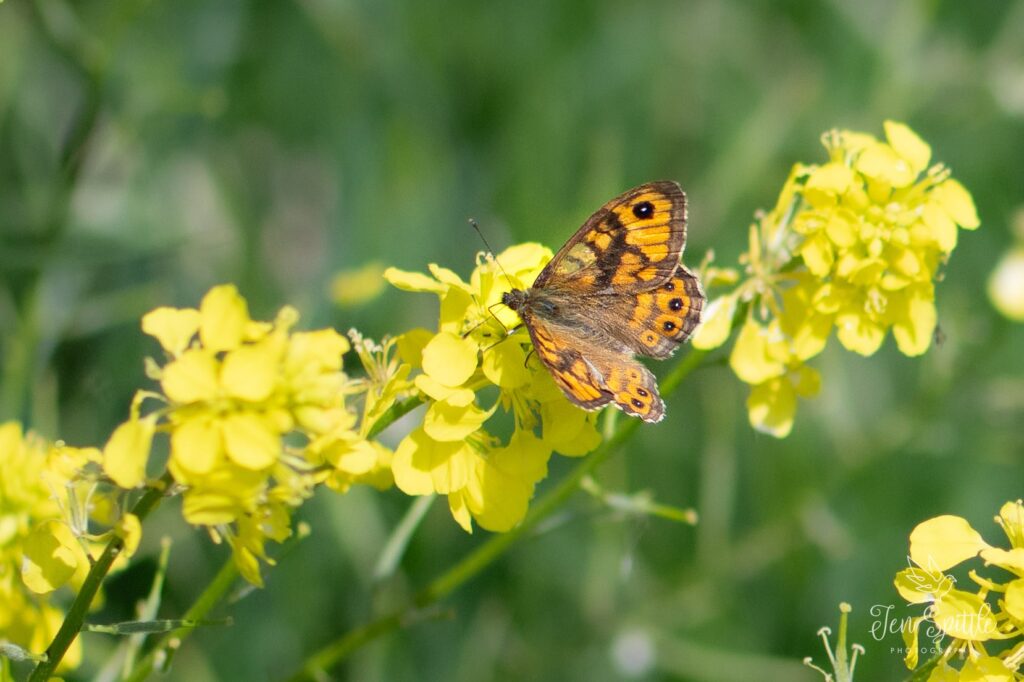
My photography is deeply rooted in this landscape. I focus primarily on the flora and fauna of the local countryside, drawn especially to the delicate world of macro photography. There’s something endlessly fascinating about the tiny details—a drop of dew on a leaf, the intricate structure of a flower, the fine textures of a butterfly’s wing.
One of my greatest joys is photographing the Heath Fritillary, a rare and beautiful butterfly that calls Hockley Woods home. Its presence here is a testament to the importance of this habitat and the careful conservation work that helps maintain it. To see this butterfly flutter through the dappled sunlight is a reminder of how precious and fragile these ecosystems are.
Hockley Woods and its surrounding green spaces are incredibly rich in biodiversity. They’ve been shaped by generations of thoughtful management, allowing wildlife to thrive in a way that feels increasingly rare today. As a photographer, I feel both fortunate and responsible—to capture this beauty and to help raise awareness about its importance.
Through my images, I hope to share not just what I see, but what I feel: a deep connection to place, a sense of wonder, and a call to protect the natural world that quietly surrounds us.
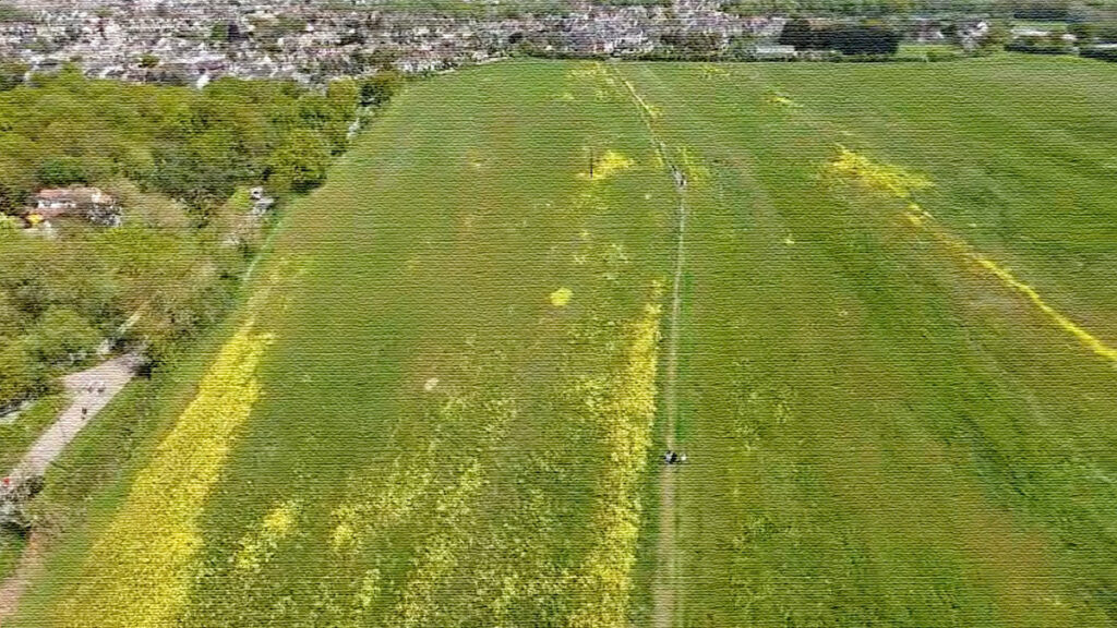
This is no ordinary bee, this is ‘Bover’ an inhabitant at Mount Bovers, who will potentially lose its home if the Wimpey housing development goes ahead
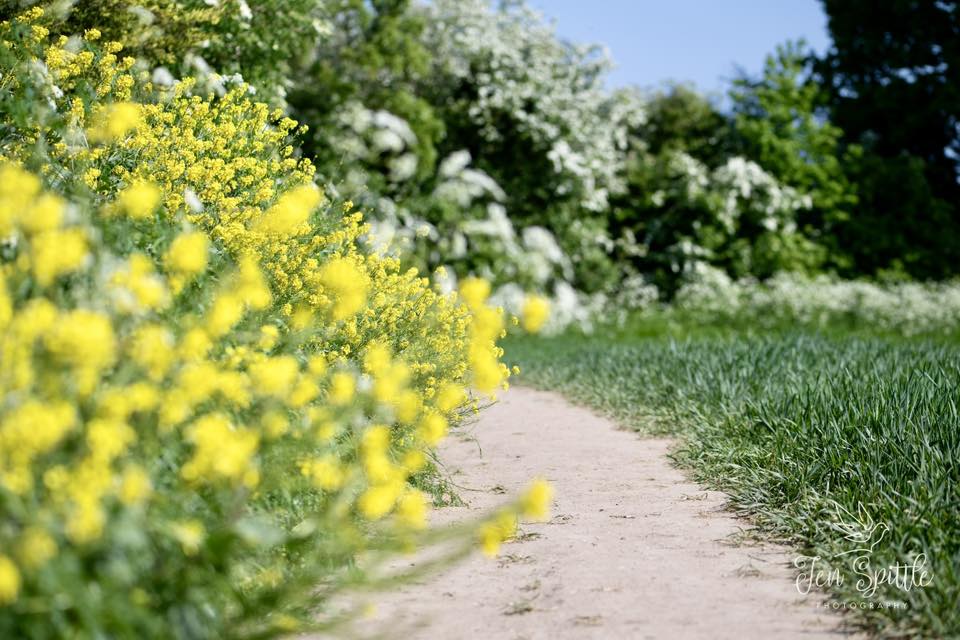
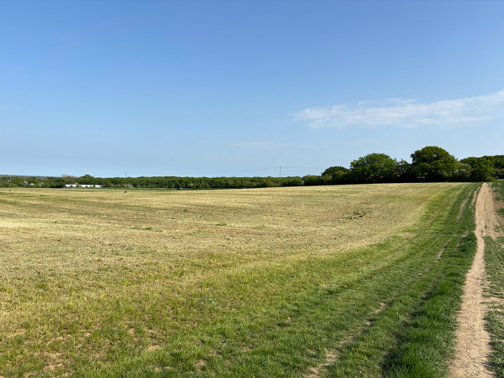
I had a beautiful walk there today, saw lots of bees and butterflies, it will indeed be a shame to lose this green space locally. There are many varieties of teeny wildflowers, even after the farmer has recently cut the field.
Originally posted on Facebook. Thank you for posting such wonderful photos. The above images are the copyright of Jen Spittle Photography.
Unearthing the Past: Hidden Archaeological Gems of the Upper Roach Valley
The Upper Roach Valley, a place often celebrated for its natural beauty and tranquil landscapes, might not immediately spring to mind when one thinks of prominent archaeological sites. Indeed, as the Historic Environment Characterisation Project notes, few such sites have been formally identified within the area. However, to interpret this as a lack of historical activity would be a significant oversight. Instead, the very stability of land use and the relative lack of intensive development in the Upper Roach Valley may have inadvertently preserved a wealth of historical secrets beneath its surface.
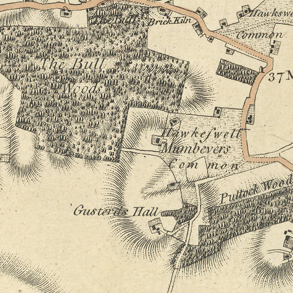
Glimpses from Old Maps
Cartographic evidence offers intriguing glimpses into this hidden past. The Chapman and Andre map of 1777 clearly depicts a historic common in the area of a proposed development, surrounded by structures indicative of human habitation. This common land persists on the first edition Ordnance Survey map of 1877, labelled as “Hawkwell Lower Common,” with further structures marked both within and around its boundaries. These maps serve as a tangible reminder of past land ownership, community spaces, and settlement patterns that have shaped the valley.
The Enduring Landscape
Beyond specific sites, the survival of significant elements of the historic landscape itself speaks volumes. Ancient woodlands, with their gnarled trees and time-worn paths, often hold within them subtle earthworks – the barely perceptible remnants of past agricultural practices, boundary markers, or even long-vanished settlements. These features, woven into the fabric of the natural environment, offer a continuity of history that predates written records.
Echoes from the Historic Record
The Essex Historic Environment Record (EHER) provides further clues to the valley’s deeper past. To the south lies evidence of a medieval deer park (EHER 46858), a testament to organized land management and the influence of medieval society on the landscape. To the west, the designation of the Upper Roach Valley as part of the Rochford Ancient Landscape (EHER 47207) underscores an area recognized for its long and rich history, hinting at human activity stretching back centuries.
Whispers of Earlier Times
Within this ancient landscape, tangible evidence of earlier human presence has been unearthed. Isolated finds such as prehistoric axes (EHER 13548 & EHER 13553) and scatters of flint tools (EHER 13488) offer tantalizing glimpses into the lives of the valley’s earliest inhabitants, thousands of years ago. The discovery of a Roman coin (EHER 13352) further illustrates the area’s connection to the wider historical movements and settlements of Roman Britain. While these may be individual finds, they often act as signposts, suggesting the potential for more substantial, as yet undiscovered, archaeological sites in the vicinity.
Later Influences and Military History
Later periods have also left their mark. Medieval and post-medieval activity has been identified within the Rochford Ancient Landscape, indicating a continued human presence and shaping of the environment through these times. More recently, the valley’s strategic location has played a role in national events. The presence of the Scrubs military camp (EHER 20707) to the south and the heavy anti-aircraft gun site at Hall Road (EHER 20709) to the southeast serve as reminders of the area’s involvement in 20th-century military history.
A Landscape Holding its Secrets
Considering this accumulated evidence, the observation that the proposed development site is situated over a historic common takes on a significant weight. The convergence of cartographic evidence, the survival of ancient landscape features, and the scattered yet significant archaeological finds strongly suggests the potential for this area to contain multi-phased archaeological deposits – layers of history waiting to be uncovered. These deposits could hold invaluable information about past communities, their land use, and their way of life across different historical periods.
While the Upper Roach Valley may not boast well-known Roman villas or medieval castles, its story is etched into the very fabric of its landscape. The potential for future archaeological discoveries to illuminate these hidden chapters of history is significant. As the valley continues to evolve, a sensitive and informed approach, one that recognises and respects the potential for buried heritage, is crucial to ensure that the silent stories of the Upper Roach Valley are not lost forever.
Nestled within the District of Rochford, Essex, lies the enchanting Upper Roach Valley, a landscape rich in history, natural beauty, and biodiversity. This expansive “green lung,” as it’s often described, is bordered by the bustling towns of Rayleigh, Hockley, Rochford, and Southend-on-Sea, offering a tranquil escape from urban life.
A Landscape of Distinction
The Upper Roach Valley isn’t just any picturesque countryside; it holds special designations that highlight its significance. It was recognised in the 2006 Rochford District Replacement Local Plan as both a Special Landscape Area and an Area of Ancient Landscape. These designations underscore the area’s unique character and the importance of preserving its features.
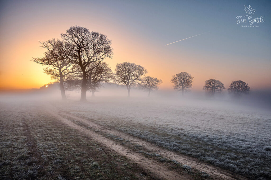
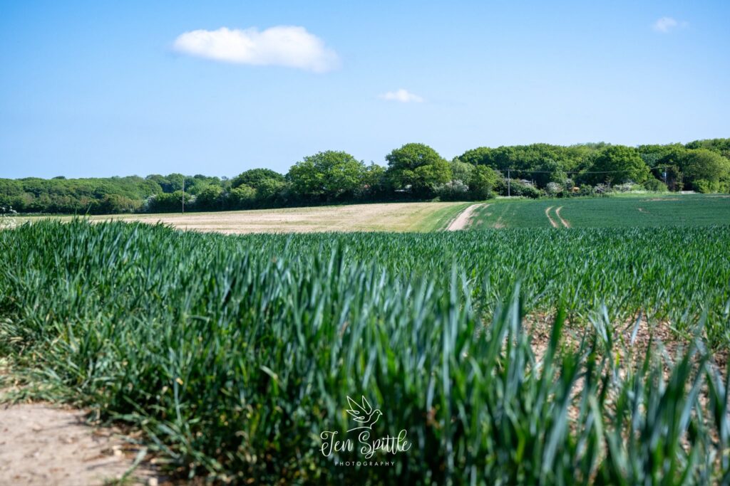
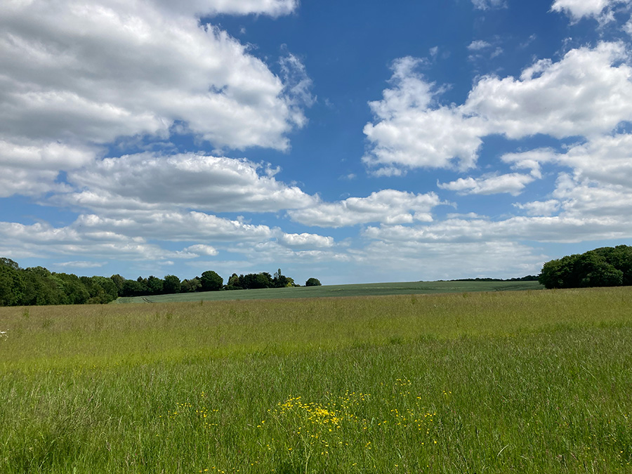
Scenic view points are dotted around the valley
The designation of the Upper Roach Valley as an Area of Ancient Landscape is directly supported by the presence of significant ancient woodland, as identified within Natural England’s Ancient Woodland Inventory. This national inventory meticulously maps land that has been continuously wooded since at least 1600 AD. The inclusion of substantial areas within the Upper Roach Valley in this inventory provides a strong ecological and historical basis for its “Area of Ancient Landscape” status, recognising the long-established ecological continuity and unique characteristics of these woodlands.
Exploring the Valley on Foot
For those seeking to immerse themselves in the valley’s charm, several walking opportunities abound. The Roach Valley Way, an approximately 23-mile (37-kilometer) circular trail around southeast Essex, passes through the scenic Upper Roach Valley, offering a fantastic way to experience its diverse landscapes as part of a longer route. Additionally, the Saffron Trail, a 71-mile (114-kilometer) long-distance path traversing Essex from Saffron Walden to Southend-on-Sea, also crosses through the Upper Roach Valley, providing another excellent way to explore this special landscape (Visit Essex says of the Saffron Trail: “Mount Bovers – star watch over the Roach Valley”). Sections of both these trails guide you through the ancient woodlands of Hockley, alongside the River Roach, and towards the expansive coastal margins of the Roach and Crouch estuaries.
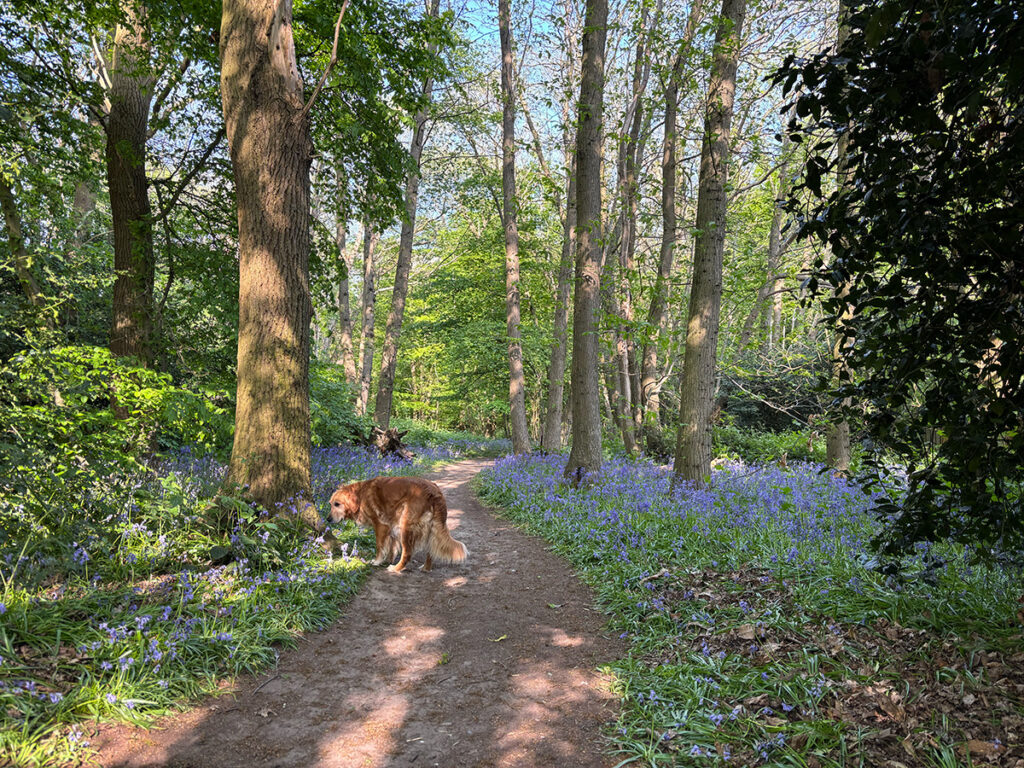
Carpet of Bluebells
Shorter, more focused walks entirely within the Upper Roach Valley also exist, allowing for exploration of specific areas like the ancient woodland at Hockley Woods and the Cherry Orchard Jubilee Country Park. These woodlands, recognised in Natural England’s inventory, with their carpets of bluebells in spring and diverse tree species like oak and sweet chestnut, provide a sensory delight for walkers. The Country Park, created in 2000, further enhances the walking experience with its lake, specimen trees, and riverside paths.
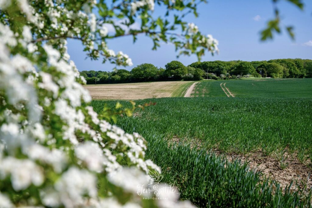
The trails within the Upper Roach Valley often pass through a landscape bearing traces of Saxon clearance, Norman parks, and medieval field systems, offering glimpses into the area’s long history as you walk. Keep an eye out for the diverse flora and fauna that thrive in this environment.
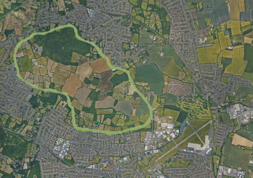
Boundary of the Upper Roach Valley
A Haven for Biodiversity
The Upper Roach Valley’s designation as a Special Landscape Area and its ancient origins contribute significantly to its biodiversity. The mosaic of woodlands, grasslands, and waterways provides habitats for a wide array of species.
Ancient Woodlands: Areas like Hockley Woods, included in Natural England’s Ancient Woodland Inventory, are of national importance due to their long history, supporting rich ground flora, rare mosses, and invertebrates that depend on deadwood.
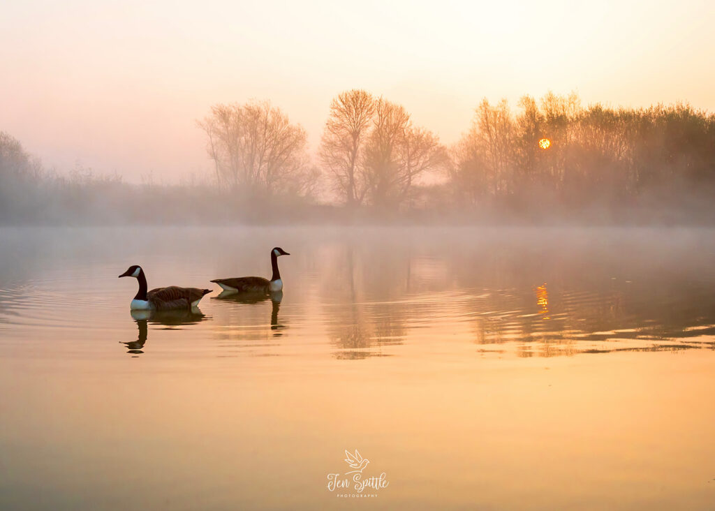
River Roach and Estuaries: The proximity to the Roach and Crouch estuaries brings a wealth of water-based wildlife. These areas are crucial for migrating and overwintering birds, and the salt marshes and mudflats support unique plant and invertebrate communities.
Green Corridors: The valley acts as a vital green corridor, connecting different habitats and allowing wildlife to move and thrive, contributing to a more resilient ecosystem.
Local Wildlife Sites: Within the Upper Roach Valley, numerous Local Wildlife Sites further highlight areas of significant biodiversity at a regional level.
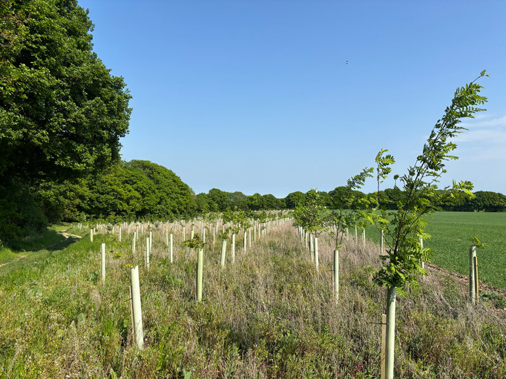
New tree planting edging Hockley Woods
Efforts are ongoing to maintain and enhance this biodiversity. Rochford District Council’s Open Spaces Strategy recognises the importance of green spaces for supporting wildlife and aims to protect and improve these areas. Initiatives like increasing woodland and wetland cover in areas like Cherry Orchard Jubilee Country Park demonstrate a commitment to fostering a thriving natural environment.
A Call to Explore
The Upper Roach Valley in the District of Rochford offers a compelling blend of historical significance, scenic beauty, and ecological richness. Whether you’re a keen walker exploring sections of the Roach Valley Way or the Saffron Trail as they pass through, or enjoying shorter trails within its boundaries, a nature enthusiast, or simply seeking a peaceful escape, this locally treasured landscape invites exploration and appreciation of its unique character.
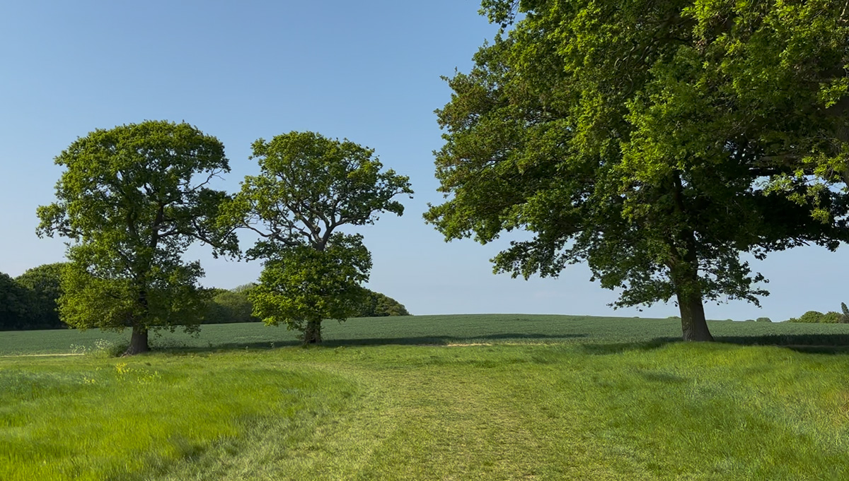
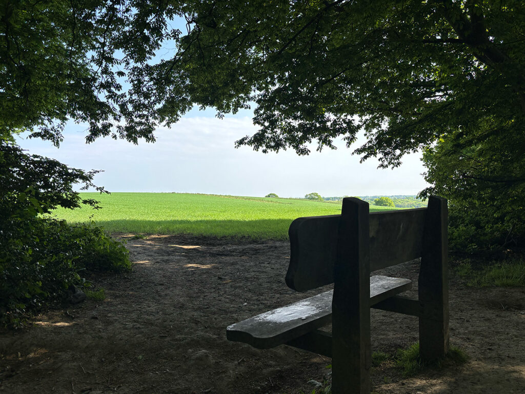
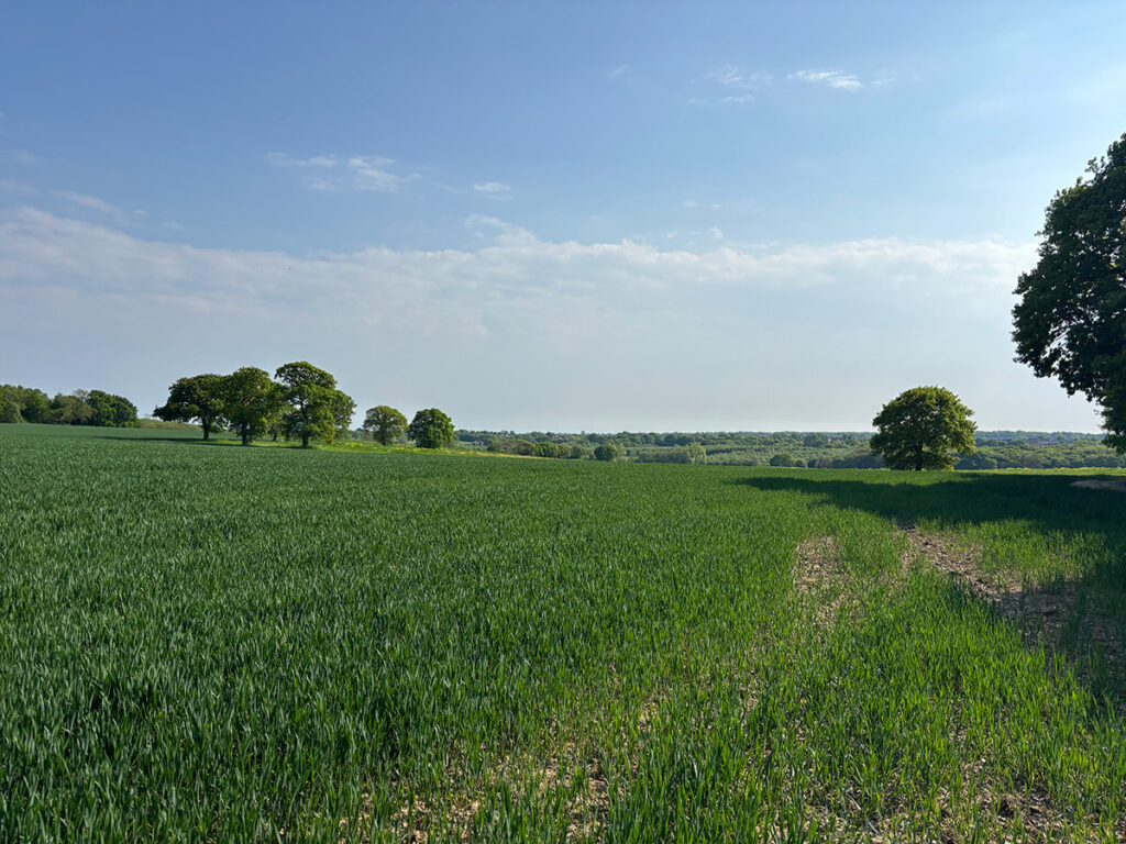
Uninterrupted views
Take a stroll through its ancient woodlands, recognised by Natural England, follow the meanders of the River Roach, and discover the diverse wildlife that calls this special place home. You might just uncover a hidden gem in the heart of Essex.
Manage Consent
To provide the best experiences, we use technologies like cookies to store and/or access device information. Consenting to these technologies will allow us to process data such as browsing behaviour or unique IDs on this site. Not consenting or withdrawing consent, may adversely affect certain features and functions.
Functional
Always active
The technical storage or access is strictly necessary for the legitimate purpose of enabling the use of a specific service explicitly requested by the subscriber or user, or for the sole purpose of carrying out the transmission of a communication over an electronic communications network.
Preferences
The technical storage or access is necessary for the legitimate purpose of storing preferences that are not requested by the subscriber or user.
Statistics
The technical storage or access that is used exclusively for statistical purposes.The technical storage or access that is used exclusively for anonymous statistical purposes. Without a subpoena, voluntary compliance on the part of your Internet Service Provider, or additional records from a third party, information stored or retrieved for this purpose alone cannot usually be used to identify you.
Marketing
The technical storage or access is required to create user profiles to send advertising, or to track the user on a website or across several websites for similar marketing purposes.