Nestled within the District of Rochford, Essex, lies the enchanting Upper Roach Valley, a landscape rich in history, natural beauty, and biodiversity. This expansive “green lung,” as it’s often described, is bordered by the bustling towns of Rayleigh, Hockley, Rochford, and Southend-on-Sea, offering a tranquil escape from urban life.
A Landscape of Distinction
The Upper Roach Valley isn’t just any picturesque countryside; it holds special designations that highlight its significance. It was recognised in the 2006 Rochford District Replacement Local Plan as both a Special Landscape Area and an Area of Ancient Landscape. These designations underscore the area’s unique character and the importance of preserving its features.
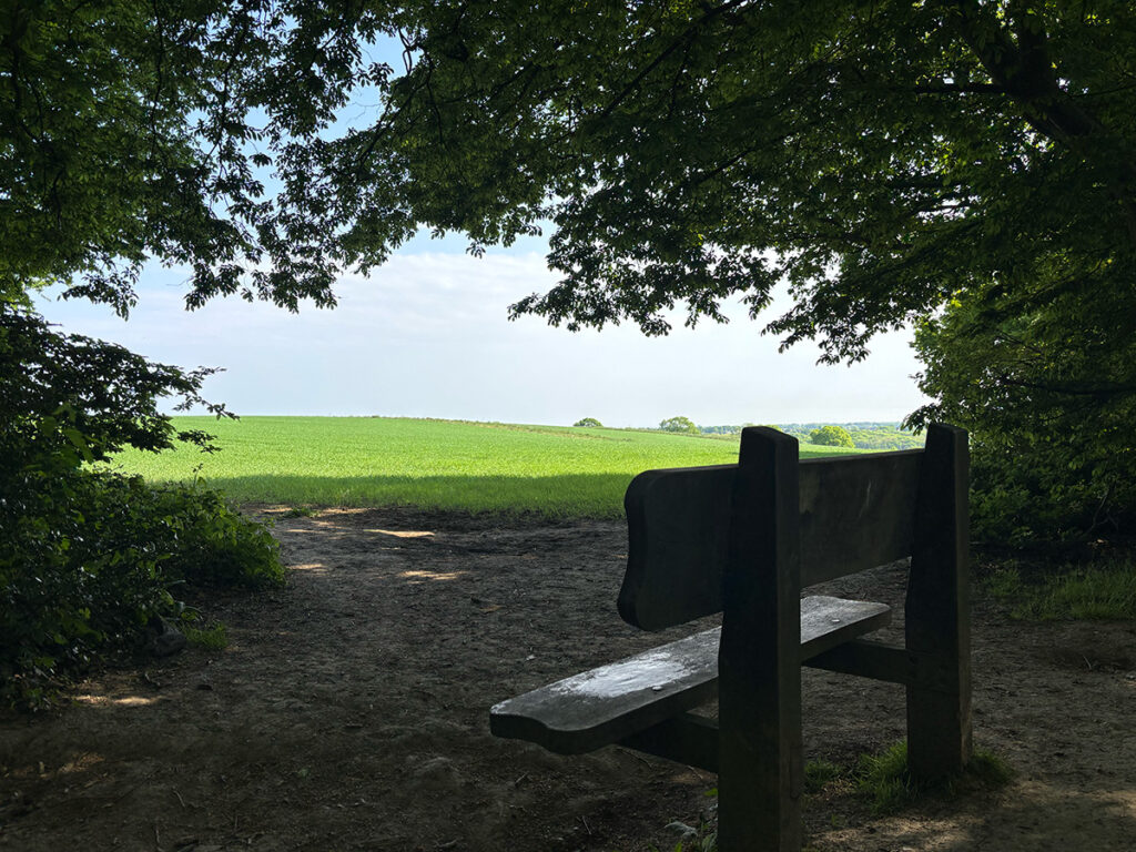
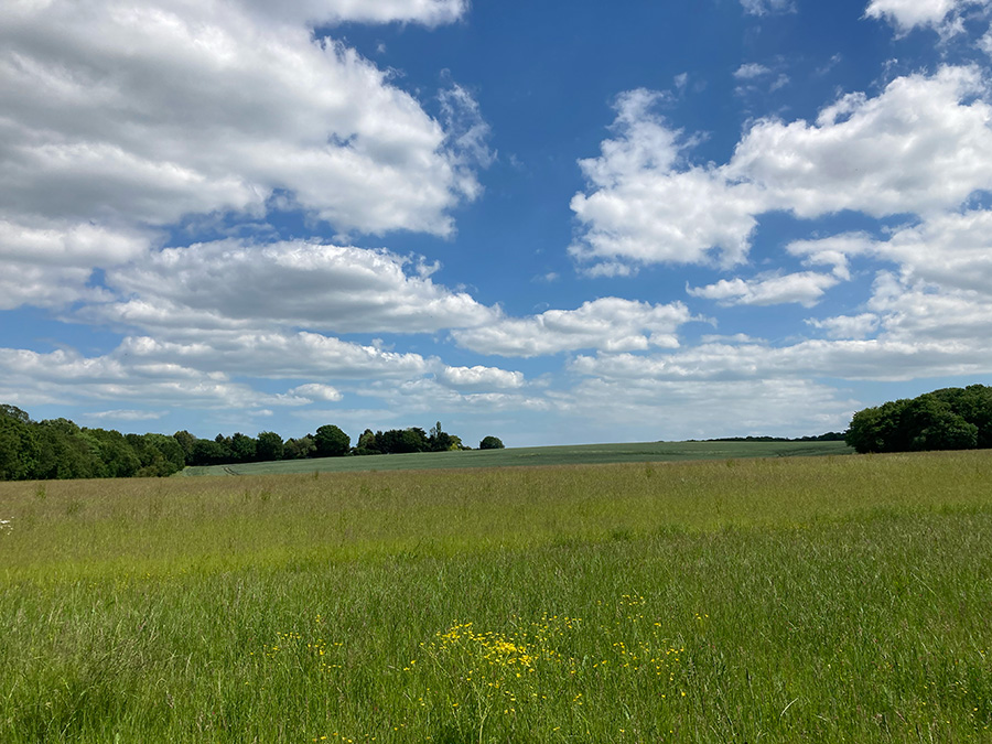
Scenic view points are dotted around the valley
The designation of the Upper Roach Valley as an Area of Ancient Landscape is directly supported by the presence of significant ancient woodland, as identified within Natural England’s Ancient Woodland Inventory. This national inventory meticulously maps land that has been continuously wooded since at least 1600 AD. The inclusion of substantial areas within the Upper Roach Valley in this inventory provides a strong ecological and historical basis for its “Area of Ancient Landscape” status, recognising the long-established ecological continuity and unique characteristics of these woodlands.
Exploring the Valley on Foot
For those seeking to immerse themselves in the valley’s charm, several walking opportunities abound. The Roach Valley Way, an approximately 23-mile (37-kilometer) circular trail around southeast Essex, passes through the scenic Upper Roach Valley, offering a fantastic way to experience its diverse landscapes as part of a longer route. Additionally, the Saffron Trail, a 71-mile (114-kilometer) long-distance path traversing Essex from Saffron Walden to Southend-on-Sea, also crosses through the Upper Roach Valley, providing another excellent way to explore this special landscape (Visit Essex says of the Saffron Trail: “Mount Bovers – star watch over the Roach Valley”). Sections of both these trails guide you through the ancient woodlands of Hockley, alongside the River Roach, and towards the expansive coastal margins of the Roach and Crouch estuaries.
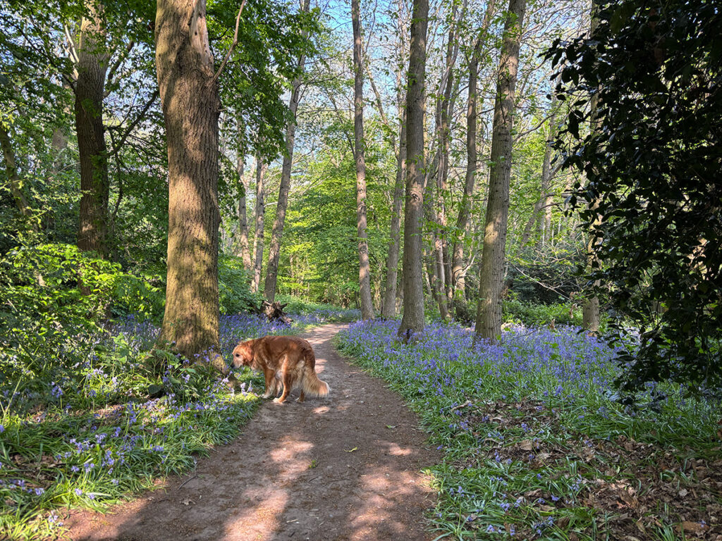
Carpet of Bluebells
Shorter, more focused walks entirely within the Upper Roach Valley also exist, allowing for exploration of specific areas like the ancient woodland at Hockley Woods and the Cherry Orchard Jubilee Country Park. These woodlands, recognised in Natural England’s inventory, with their carpets of bluebells in spring and diverse tree species like oak and sweet chestnut, provide a sensory delight for walkers. The Country Park, created in 2000, further enhances the walking experience with its lake, specimen trees, and riverside paths.
The trails within the Upper Roach Valley often pass through a landscape bearing traces of Saxon clearance, Norman parks, and medieval field systems, offering glimpses into the area’s long history as you walk. Keep an eye out for the diverse flora and fauna that thrive in this environment.
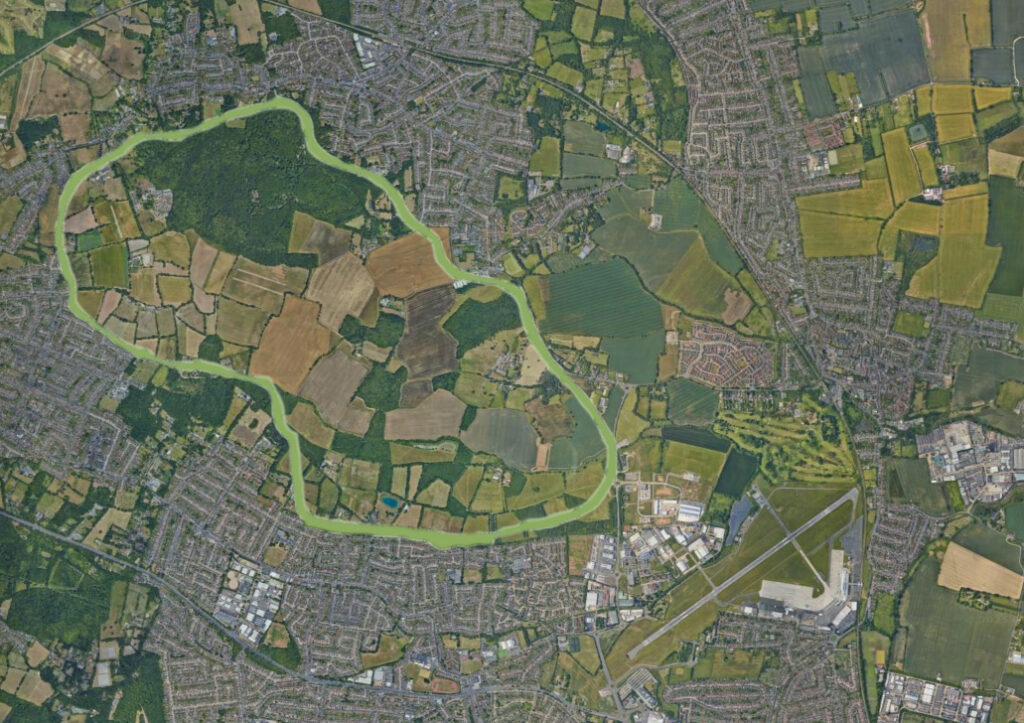
Boundary of the Upper Roach Valley
A Haven for Biodiversity
The Upper Roach Valley’s designation as a Special Landscape Area and its ancient origins contribute significantly to its biodiversity. The mosaic of woodlands, grasslands, and waterways provides habitats for a wide array of species.
- Ancient Woodlands: Areas like Hockley Woods, included in Natural England’s Ancient Woodland Inventory, are of national importance due to their long history, supporting rich ground flora, rare mosses, and invertebrates that depend on deadwood.
- River Roach and Estuaries: The proximity to the Roach and Crouch estuaries brings a wealth of water-based wildlife. These areas are crucial for migrating and overwintering birds, and the salt marshes and mudflats support unique plant and invertebrate communities.
- Green Corridors: The valley acts as a vital green corridor, connecting different habitats and allowing wildlife to move and thrive, contributing to a more resilient ecosystem.
- Local Wildlife Sites: Within the Upper Roach Valley, numerous Local Wildlife Sites further highlight areas of significant biodiversity at a regional level.
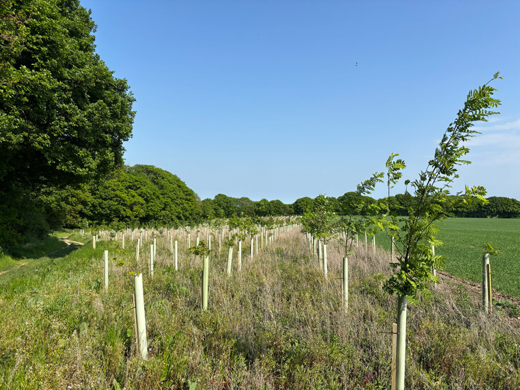
New tree planting edging Hockley Woods
Efforts are ongoing to maintain and enhance this biodiversity. Rochford District Council’s Open Spaces Strategy recognises the importance of green spaces for supporting wildlife and aims to protect and improve these areas. Initiatives like increasing woodland and wetland cover in areas like Cherry Orchard Jubilee Country Park demonstrate a commitment to fostering a thriving natural environment.
A Call to Explore
The Upper Roach Valley in the District of Rochford offers a compelling blend of historical significance, scenic beauty, and ecological richness. Whether you’re a keen walker exploring sections of the Roach Valley Way or the Saffron Trail as they pass through, or enjoying shorter trails within its boundaries, a nature enthusiast, or simply seeking a peaceful escape, this locally treasured landscape invites exploration and appreciation of its unique character.
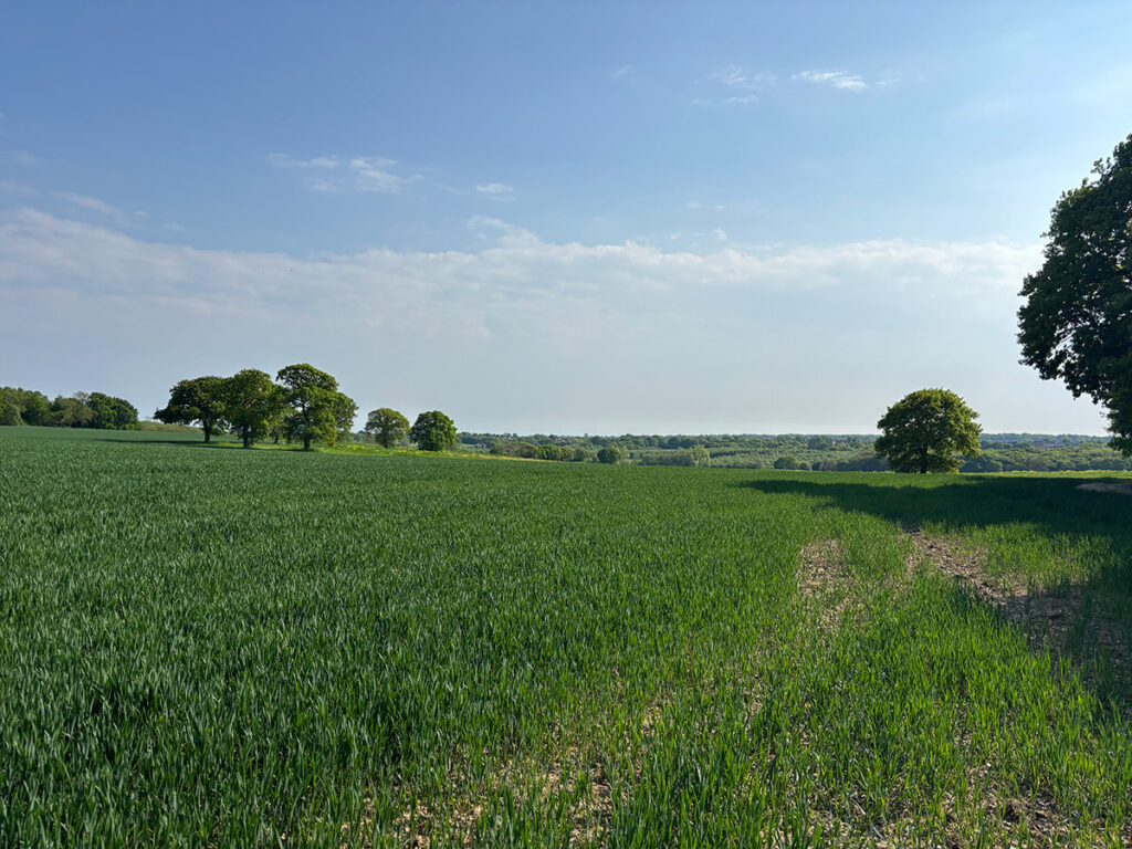
Uninterrupted views
Take a stroll through its ancient woodlands, recognised by Natural England, follow the meanders of the River Roach, and discover the diverse wildlife that calls this special place home. You might just uncover a hidden gem in the heart of Essex.