Celebrating Nature Together: A Community Walk for Great Big Green Week.
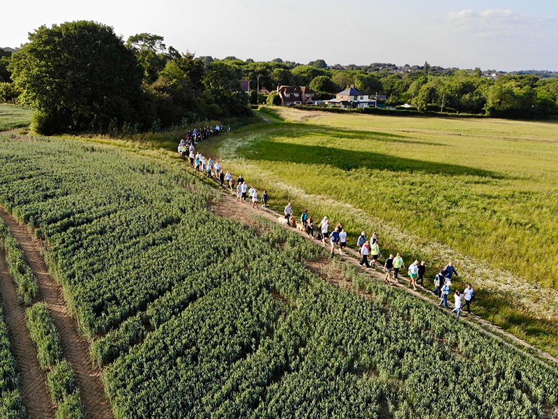
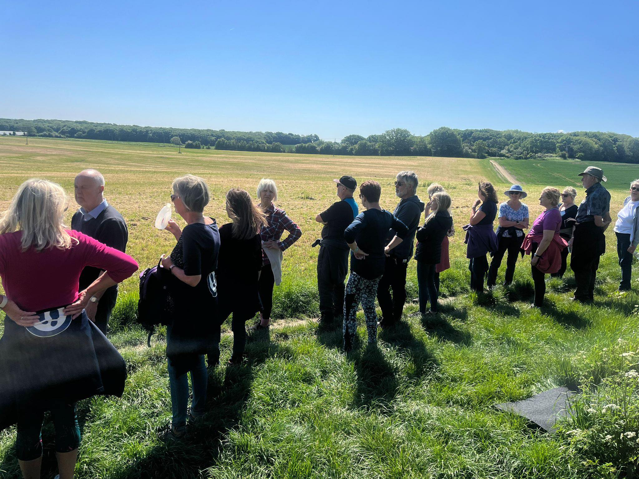
Last night, on Tuesday 10th June, over 100 residents from Hawkwell, Hockley, and Rochford came together to take part in a special community walk in celebration of The Great Big Green Week—the UK’s biggest celebration of community action to tackle climate change and protect nature.
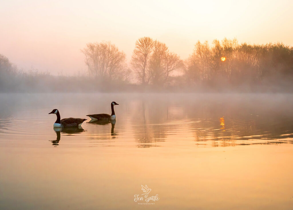
Local residents enjoy the openness of green space
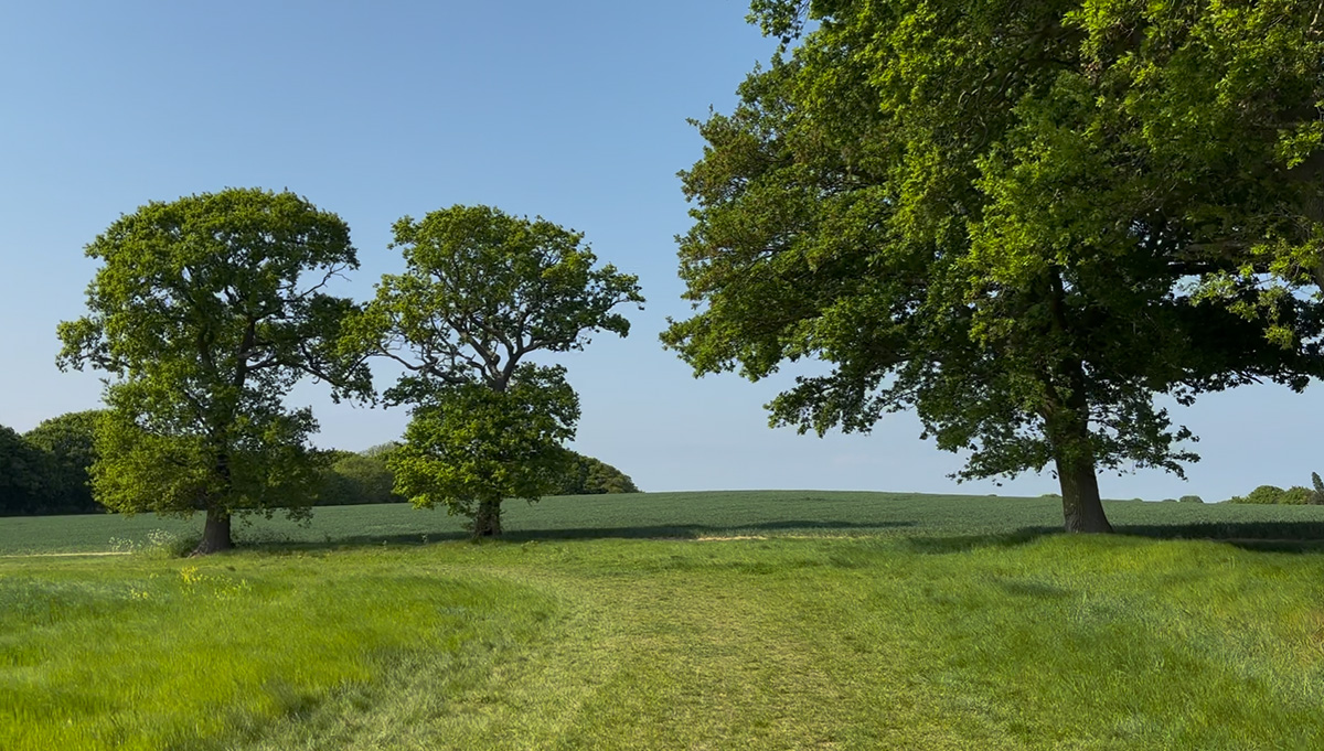
The walk was a powerful reminder of what we value most: our green and open spaces, the sense of community, and the shared commitment to protect and enjoy the natural beauty that surrounds us.Families, friends, local running groups, dog walkers and nature enthusiasts gathered in a display of unity, walking side by side through our beautiful countryside, taking time to pause, connect, and appreciate the simple joy of being outdoors.
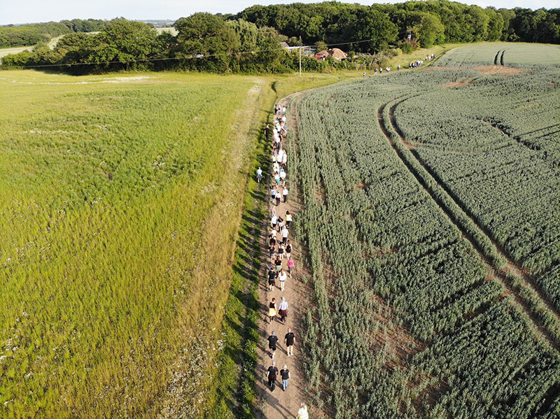
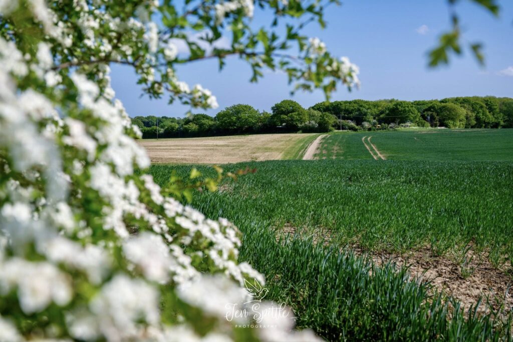
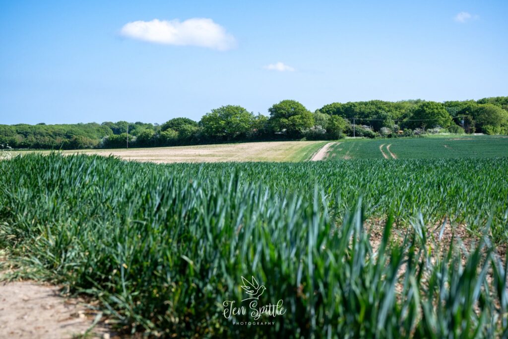
The uninterrupted views from the Saffron Trail, bordering the proposed development: Mount Bovers
The route, chosen to highlight some of our most treasured green spaces, sparked conversations not just about wellbeing and wildlife—but about why preserving these areas for future generations matters more than ever.
This event led by Judith Clark, was not just about enjoying a pleasant evening stroll—it was a celebration of our shared values, and a powerful symbol of what can happen when communities come together for a common purpose.
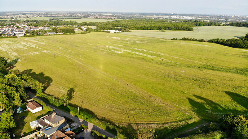
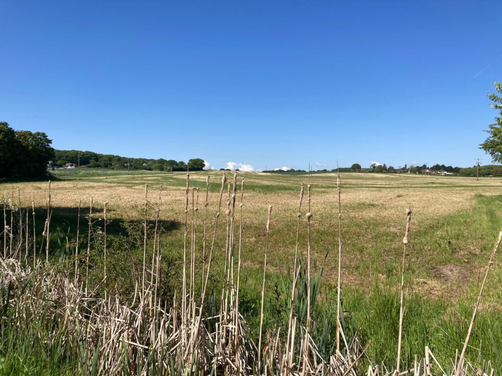
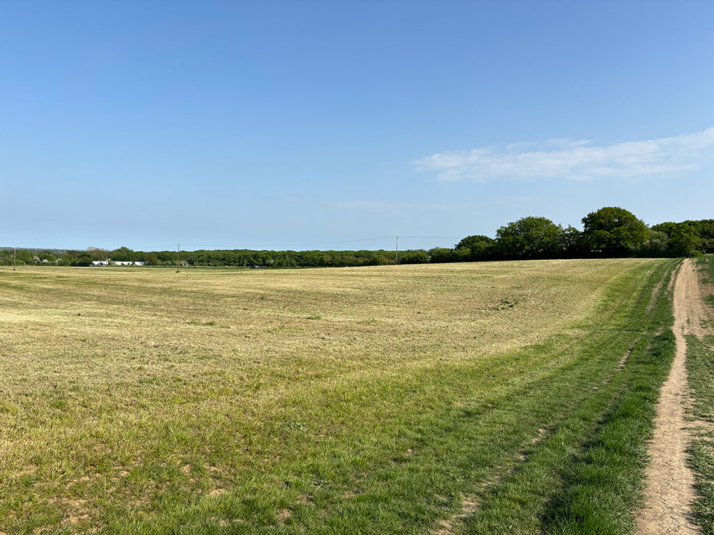
Mount Bovers: The site of the proposed development of 350 homes
Thank you to everyone who took part, and to all those who continue to champion our environment at a local level.
As part of The Great Big Green Week, events like these show that every step counts—especially when we walk them together.
Please see below information received from the District Council regarding the polling station locations.
Residents should vote at their usual polling station and take their photo ID, as is the requirement for voting now.
For any other information, it may best to direct questions to the RDC Elections Office, as it is their responsibility to organise and administer the Poll.
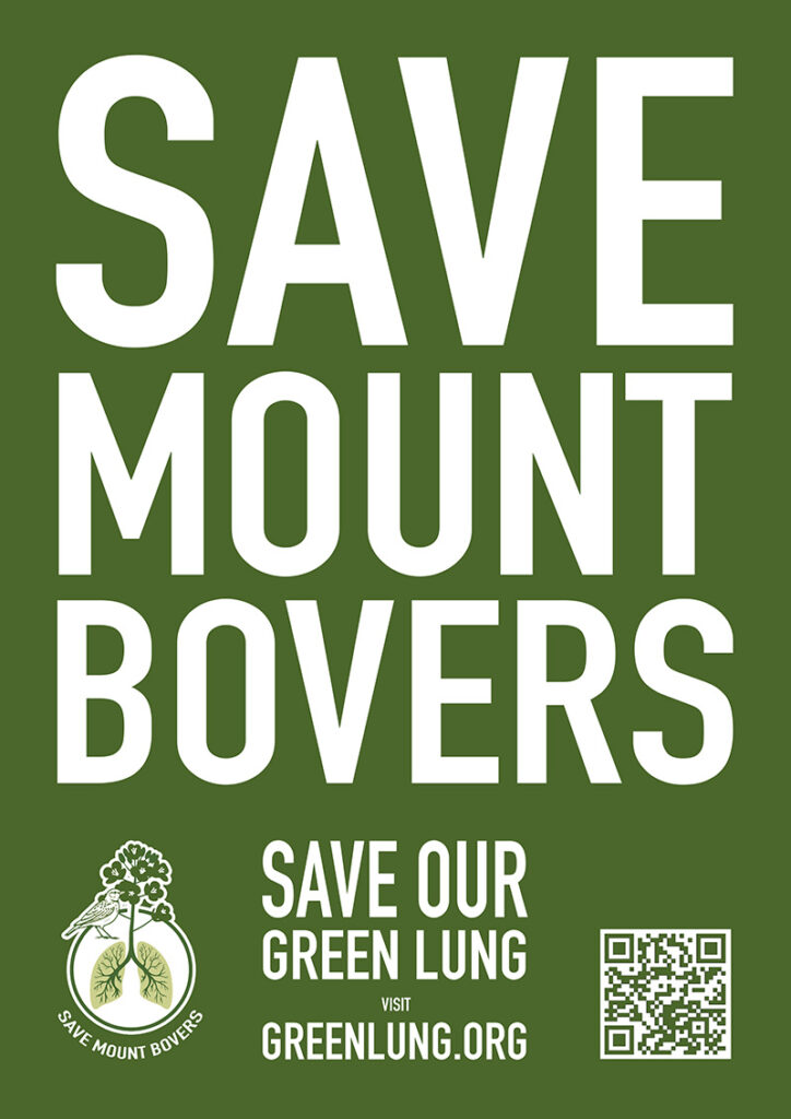
Join Us for a Community Walk – Protect Our Green Lung!
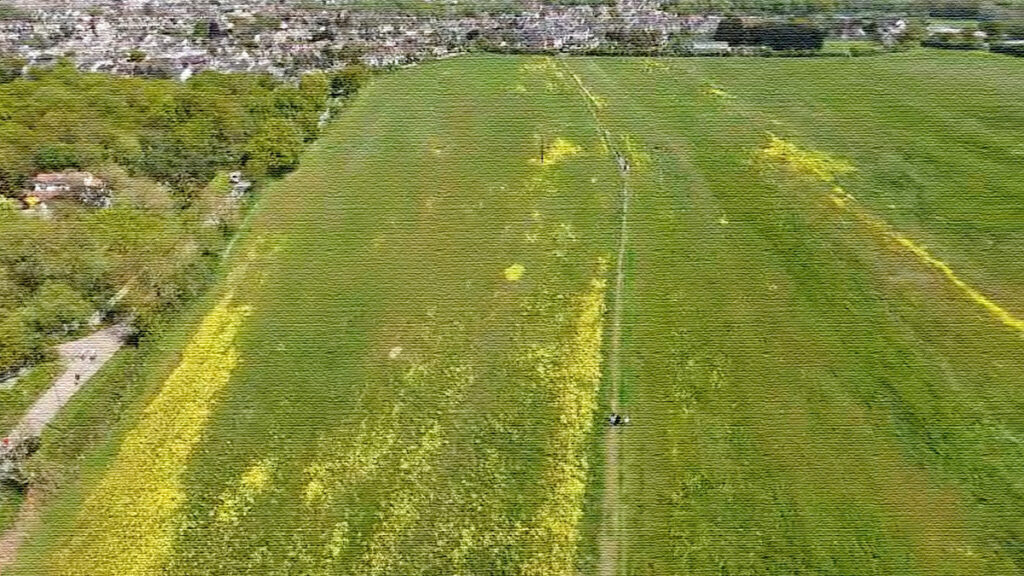
As part of #GreatBigGreenWeek, we’re inviting residents to a Community Walk on Tuesday 10th June through the beautiful Green-lung area of Mount Bovers — a vital stretch of Greenbelt land under threat from development.
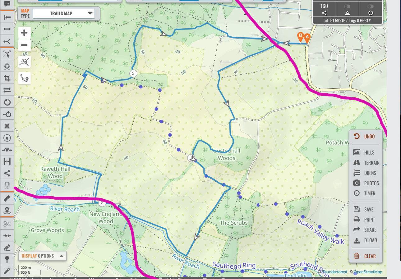
Walk Route: Follow the blue line on the map below — taking you through peaceful footpaths and nature-rich areas in and around Mount Bovers.
The pink boundary marks the protected Greenbelt space that has long been safeguarded by Rochford Council’s Core Strategy — until now.
This walk is about more than fresh air. It’s about raising awareness of the environmental, health, and heritage value of this cherished green space — and the importance of keeping it free from inappropriate development.
Bring your friends, family, and your voice — let’s walk together in support of nature, wellbeing, and our community.
When: Tuesday 10th June
Time: 6:30pm
Meeting point: junction Mount Bovers and Main Road Hawkwell.
All welcome to join us- walk leader Judith Clark. @followers
Our Group was formed in response to the proposed development of 350 homes by Taylor Wimpey on land between Mount Bovers Lane and Gusted Hall Lane.
The proposed site’s natural open space and recognised sensitive character forms a vital part of our community’s well-being and is under threat from inappropriate and unsustainable development.
Beyond the further destruction of our Green Belt, Hockley, Hawkwell, and Rochford simply cannot withstand more urban development without adequate infrastructure.
Think fewer open spaces, increased traffic, oversubscribed schools, and even longer medical waiting times.
Have your say Taylor Wimpey’s Planning Application is imminent. Please help protect our community by making your opinion heard.
Neighbourhood Plan The Save Mount Bovers Community Group from Hawkwell Essex, made a strong and coordinated appearance at both the Hawkwell and separately the Hockley Annual Parishioners’ Meetings, held as part of the yearly opportunity for residents to raise questions and concerns with their respective Parish Councils.
Residents turned out in significant numbers to show their support for a Neighbourhood Plan – an important tool to influence future development in the area — resulting in a formal proposal for a Parish Poll, a democratic right under Schedule 12 of the Local Government Act 1972.
Hawkwell Parish Council Poll The date for Hawkwell Parish Council Poll has since been announced to take effect Friday 13th June 2025.
Hockley Parish Council date has yet to be confirmed.
Emergency meeting: Rochford District Council (RDC) has an Emergency meeting being held on the 11th June 2025 under the Planning Policy framework where they will be sharing a Draft Local Plan detailing how and where housing can be built over the next 15-20 years.
Shape the future of our community The Save Mount Bovers Group continues to advocate for sustainable planning and increased public involvement in local decision-making, having continued dialogue with local MPs, Councillors and planning officers.
Forthcoming events
10k race commences at Gusted Hall Lane 1st June
Community Walk as part of Great Big Green Week On 10th June 6:30pm. Meeting at the junction of Main Road Hawkwell (B1013) and Mount Bovers Lane.
Support our Community Group Help shape your community for future generations. You can find out more by contacting us
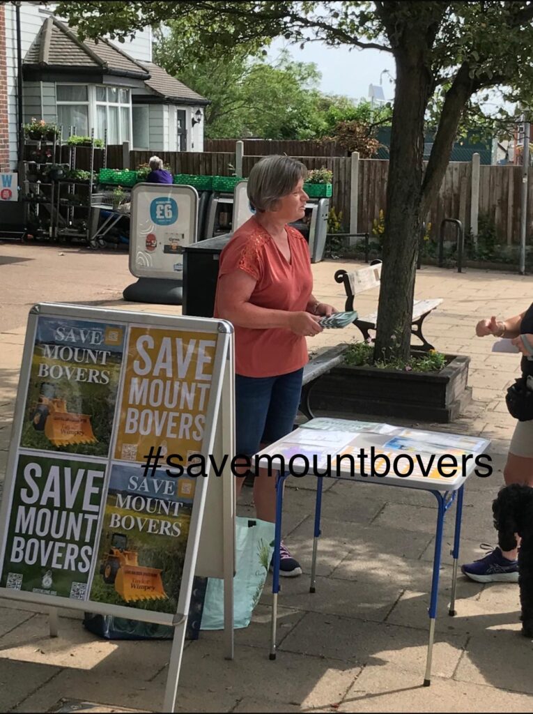
Today we witnessed a wonderful display of community spirit, as local residents gave their valuable time to raise awareness about the upcoming Parish Poll, being held by Hawkwell Parish Council at the request of residents calling for a Neighbourhood Plan to be implemented.
This is true grassroots democracy in motion – people coming together to shape the future of their community. A heartfelt thank you to everyone who helped spread the word, had conversations, handed out leaflets, and stood up for local voices.
Following a recent Parish Meeting attended by a large gathering of Hawkwell residents a vote was taken to force the local council to hold a “Parish Poll”
As residents, the forthcoming Poll gives us ALL the opportunity to say YES to the creation a Neighbourhood Plan which will help form the basis of future plans for our local community and carries statutory weight as part of consultations on future housing developments such as the 350 houses proposed by Taylor Wimpey, to be sited on our beautiful greenbelt between Mount Bovers Lane & Gusted Hall Lane in Hawkwell
This is not a political vote it is a Yes/No vote
“Do the you support the creation of a Neighbourhood Plan in Hawkwell Parish to help protect the village from unsustainable housing developments”
We have tremendous support so far but need all the help we can get in opposing these plans to destroy our greenbelt, ruin our wildlife, landscape and heritage
Every vote counts and your support as part of the community is vital in helping protect our village
Please, if you can, attend the polling station between: 4pm & 9pm on 13th June and vote YES
There is a wealth of preliminary work being undertaken ahead of this to fend of this potentially disastrous blot on our beautiful landscape – We are not denying the need for housing but we are fighting for housing to be located appropriately and not on our greenbelt in an area already clogged with too much traffic, local schools already oversubscribed and public services stretched to breaking point
PLEASE HELP IF YOU CAN AND SHOW WHAT AN AMAZING LOCAL COMMUNITY WE HAVE
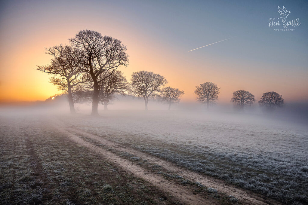
For the past 20 years, I’ve called Hockley home—a place that continues to surprise and inspire me every time I step outside with my camera in hand. Nestled in Essex, Hockley is more than just a village to me; it’s a living, breathing canvas of natural beauty, where the woodlands and winding paths reveal something new with every season.
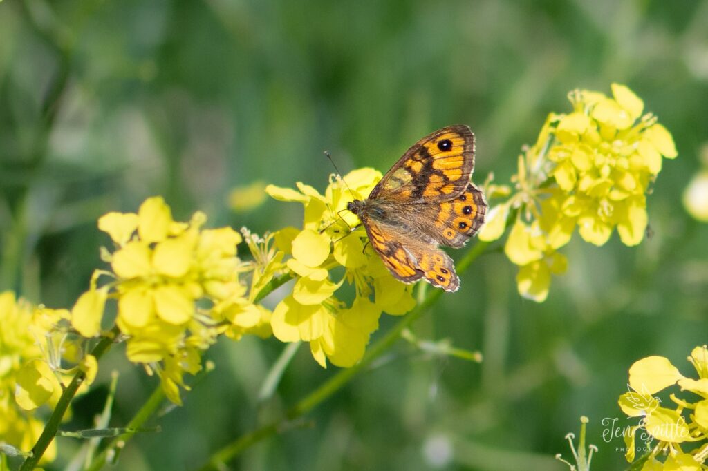
My photography is deeply rooted in this landscape. I focus primarily on the flora and fauna of the local countryside, drawn especially to the delicate world of macro photography. There’s something endlessly fascinating about the tiny details—a drop of dew on a leaf, the intricate structure of a flower, the fine textures of a butterfly’s wing.
One of my greatest joys is photographing the Heath Fritillary, a rare and beautiful butterfly that calls Hockley Woods home. Its presence here is a testament to the importance of this habitat and the careful conservation work that helps maintain it. To see this butterfly flutter through the dappled sunlight is a reminder of how precious and fragile these ecosystems are.
Hockley Woods and its surrounding green spaces are incredibly rich in biodiversity. They’ve been shaped by generations of thoughtful management, allowing wildlife to thrive in a way that feels increasingly rare today. As a photographer, I feel both fortunate and responsible—to capture this beauty and to help raise awareness about its importance.
Through my images, I hope to share not just what I see, but what I feel: a deep connection to place, a sense of wonder, and a call to protect the natural world that quietly surrounds us.
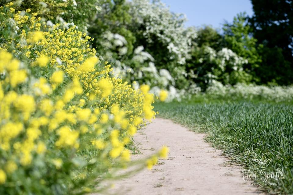
Today’s community Walk and Talk took us through the beautiful green space of Mount Bovers — a vital green lung used regularly by local walking groups, families, and nature lovers. This isn’t just land; it’s part of our community’s wellbeing and identity. Development here would be a loss we can’t afford.
Let’s protect this space for future generations.
Judith will be organising another walk around The Saffron Walk on 10th June- all welcome to join us.
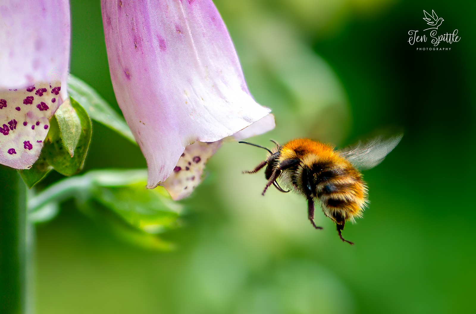
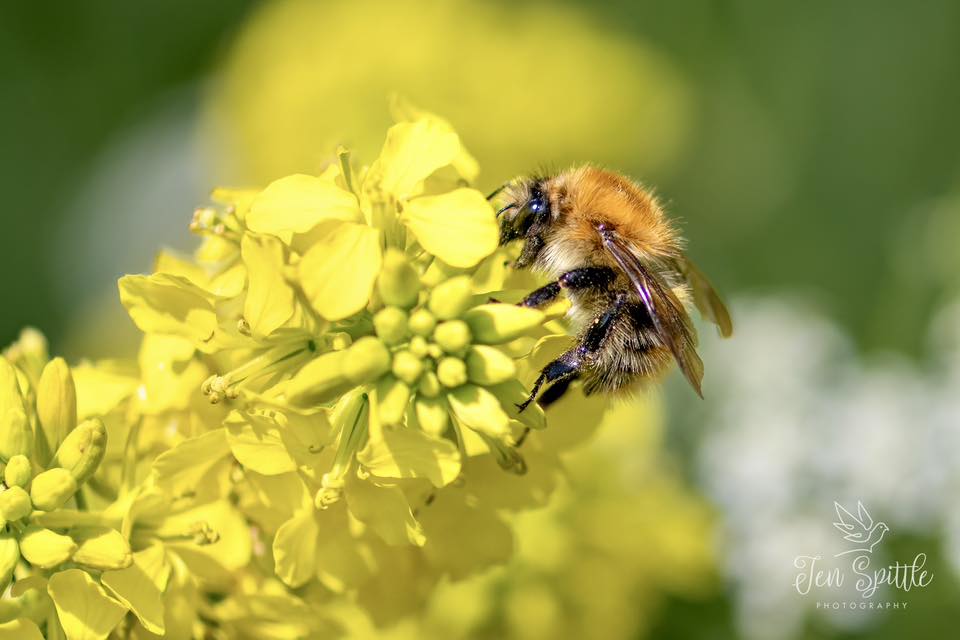
This is no ordinary bee, this is ‘Bover’ an inhabitant at Mount Bovers, who will potentially lose its home if the Wimpey housing development goes ahead
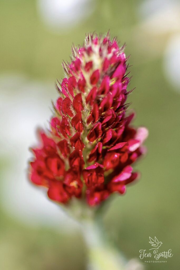
I had a beautiful walk there today, saw lots of bees and butterflies, it will indeed be a shame to lose this green space locally. There are many varieties of teeny wildflowers, even after the farmer has recently cut the field.
Originally posted on Facebook. Thank you for posting such wonderful photos. The above images are the copyright of Jen Spittle Photography.
Unearthing the Past: Hidden Archaeological Gems of the Upper Roach Valley
The Upper Roach Valley, a place often celebrated for its natural beauty and tranquil landscapes, might not immediately spring to mind when one thinks of prominent archaeological sites. Indeed, as the Historic Environment Characterisation Project notes, few such sites have been formally identified within the area. However, to interpret this as a lack of historical activity would be a significant oversight. Instead, the very stability of land use and the relative lack of intensive development in the Upper Roach Valley may have inadvertently preserved a wealth of historical secrets beneath its surface.
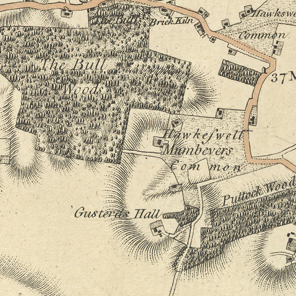
Glimpses from Old Maps
Cartographic evidence offers intriguing glimpses into this hidden past. The Chapman and Andre map of 1777 clearly depicts a historic common in the area of a proposed development, surrounded by structures indicative of human habitation. This common land persists on the first edition Ordnance Survey map of 1877, labelled as “Hawkwell Lower Common,” with further structures marked both within and around its boundaries. These maps serve as a tangible reminder of past land ownership, community spaces, and settlement patterns that have shaped the valley.
The Enduring Landscape
Beyond specific sites, the survival of significant elements of the historic landscape itself speaks volumes. Ancient woodlands, with their gnarled trees and time-worn paths, often hold within them subtle earthworks – the barely perceptible remnants of past agricultural practices, boundary markers, or even long-vanished settlements. These features, woven into the fabric of the natural environment, offer a continuity of history that predates written records.
Echoes from the Historic Record
The Essex Historic Environment Record (EHER) provides further clues to the valley’s deeper past. To the south lies evidence of a medieval deer park (EHER 46858), a testament to organized land management and the influence of medieval society on the landscape. To the west, the designation of the Upper Roach Valley as part of the Rochford Ancient Landscape (EHER 47207) underscores an area recognized for its long and rich history, hinting at human activity stretching back centuries.
Whispers of Earlier Times
Within this ancient landscape, tangible evidence of earlier human presence has been unearthed. Isolated finds such as prehistoric axes (EHER 13548 & EHER 13553) and scatters of flint tools (EHER 13488) offer tantalizing glimpses into the lives of the valley’s earliest inhabitants, thousands of years ago. The discovery of a Roman coin (EHER 13352) further illustrates the area’s connection to the wider historical movements and settlements of Roman Britain. While these may be individual finds, they often act as signposts, suggesting the potential for more substantial, as yet undiscovered, archaeological sites in the vicinity.
Later Influences and Military History
Later periods have also left their mark. Medieval and post-medieval activity has been identified within the Rochford Ancient Landscape, indicating a continued human presence and shaping of the environment through these times. More recently, the valley’s strategic location has played a role in national events. The presence of the Scrubs military camp (EHER 20707) to the south and the heavy anti-aircraft gun site at Hall Road (EHER 20709) to the southeast serve as reminders of the area’s involvement in 20th-century military history.
A Landscape Holding its Secrets
Considering this accumulated evidence, the observation that the proposed development site is situated over a historic common takes on a significant weight. The convergence of cartographic evidence, the survival of ancient landscape features, and the scattered yet significant archaeological finds strongly suggests the potential for this area to contain multi-phased archaeological deposits – layers of history waiting to be uncovered. These deposits could hold invaluable information about past communities, their land use, and their way of life across different historical periods.
While the Upper Roach Valley may not boast well-known Roman villas or medieval castles, its story is etched into the very fabric of its landscape. The potential for future archaeological discoveries to illuminate these hidden chapters of history is significant. As the valley continues to evolve, a sensitive and informed approach, one that recognises and respects the potential for buried heritage, is crucial to ensure that the silent stories of the Upper Roach Valley are not lost forever.
Manage Consent
To provide the best experiences, we use technologies like cookies to store and/or access device information. Consenting to these technologies will allow us to process data such as browsing behaviour or unique IDs on this site. Not consenting or withdrawing consent, may adversely affect certain features and functions.
Functional
Always active
The technical storage or access is strictly necessary for the legitimate purpose of enabling the use of a specific service explicitly requested by the subscriber or user, or for the sole purpose of carrying out the transmission of a communication over an electronic communications network.
Preferences
The technical storage or access is necessary for the legitimate purpose of storing preferences that are not requested by the subscriber or user.
Statistics
The technical storage or access that is used exclusively for statistical purposes.The technical storage or access that is used exclusively for anonymous statistical purposes. Without a subpoena, voluntary compliance on the part of your Internet Service Provider, or additional records from a third party, information stored or retrieved for this purpose alone cannot usually be used to identify you.
Marketing
The technical storage or access is required to create user profiles to send advertising, or to track the user on a website or across several websites for similar marketing purposes.